 Marrakech Guidebook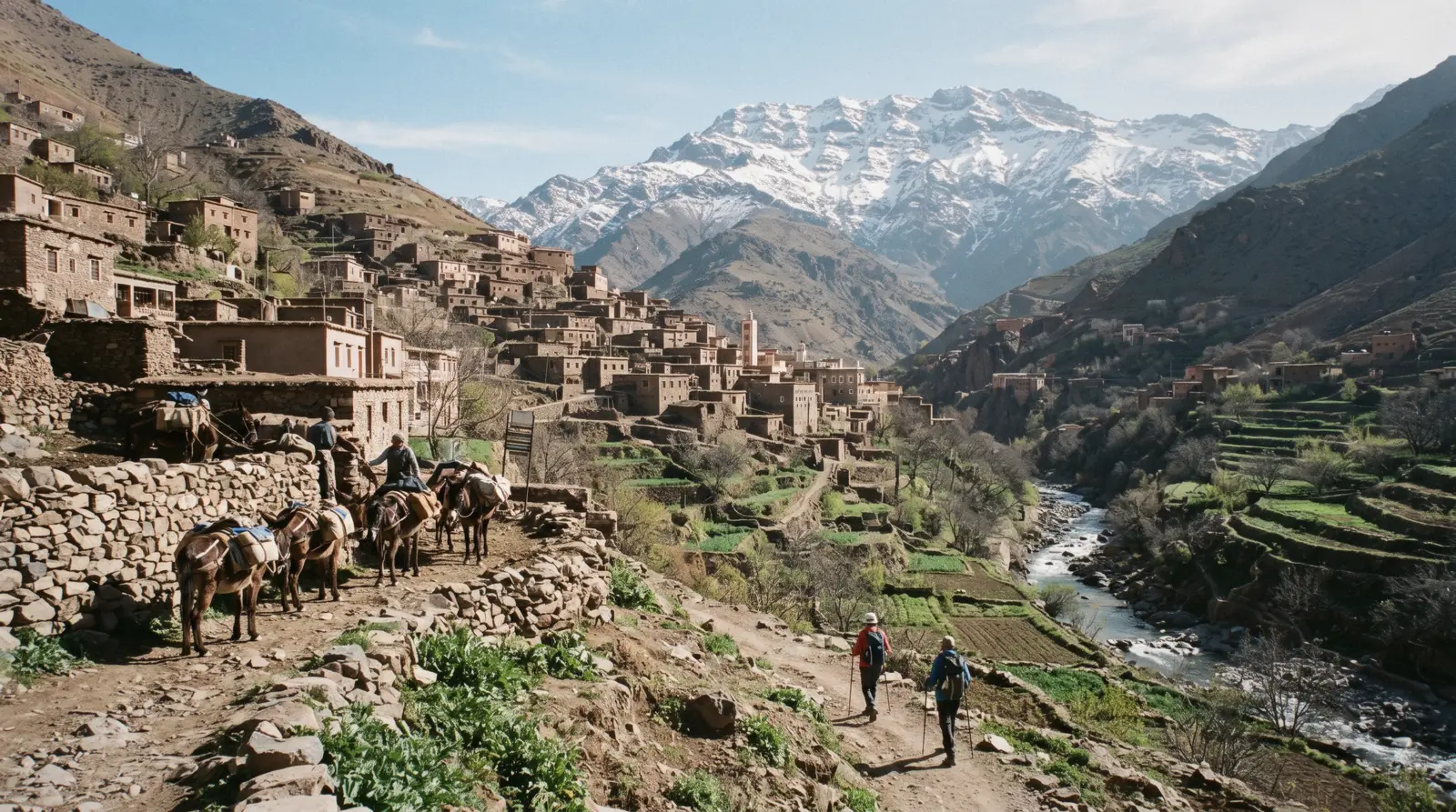
Imlil
Imlil is the village at the end of the tarmac in the Rheraya valley, 64.8 km from Marrakech, where the road stops and the mule tracks to Jbel Toubkal begin. It is a walking base rather than a sight, and this page carries the road that reaches it, what the census actually says about it, the safety record that one government names and another does not, and the ways up from the city. The park above it is on the Atlas Mountains page, and the city is on the Marrakech guide homepage.
Quick answer How far, how to get there, the safety question and the altitude nobody publishes
Imlil is 64.8 km from Marrakech by classified road, summed from the official section lengths: 31.00 km to Tahannaout, 17.80 km on to Asni, then 16.00 km of provincial road to the village. Nothing there is ticketed and no authority publishes an entry fee, a permit or a registration.
Key takeaways
- There is no Commune d'Imlil in this province. The village sits inside the Commune d'Asni, which had 22,637 residents at the 2024 census; the 'Commune d'Imlil, 11,175 people' quoted all over the internet is a different place in another region
- Nobody official publishes the village altitude either. The 1,740 metres everyone prints comes from blogs, not from a Moroccan or academic source
- A full day with lunch in a family house is listed at $33, and the walk scaled to your fitness at $27.87. For the park above, see the Atlas Mountains page
Key facts
Opening hours
| An inhabited village on a public road. No gate, no ticket, no published hours | |
|---|---|
| Above the village the movement is on foot or by mule, all year |
Closed None published. No authority publishes a winter closure for either road that reaches it
Admission
- Adult
- Free. No entry charge, permit or registration is published for the village or the valley
- Reduced
- Parking and mule hire are local arrangements with no published tariff, and even guide fees are only indicative under Moroccan law
- Free
- The village, the tracks and the viewpoints. What you pay for is transport, a bed, a guide or a mule
Planning it
- Time needed
- Not stated by any authority. Our routing: eight to nine hours door to door from Marrakech for a day walk, or one night if you want a dawn start
- Book ahead
- Recommended — a few days
- Address
- Imlil, Commune d'Asni, Cercle d'Asni, Province d'Al Haouz, at the end of route provinciale RP 2015
There is nothing to buy at the village itself, so this table compares the ways of getting to it and what each covers. Tour prices are the GetYourGuide listings read in Q3 2026; the independent row is priced from what Moroccan authorities publish, which for shared taxis on this route is nothing at all.
Are you buying a day out, or just a lift to the end of the road?
| Option | What it costs | Includes | Cancel | Book |
|---|---|---|---|---|
| Go yourself by grand taxi via AsniIndependent walkers who are happy to negotiate a fare twice and set their own hours | Free at the village; no published fare for either taxi leg | Nothing arranged. No entry fee, permit or registration exists to pay | Nothing to cancel | Official site |
| Day trip with lunch and a hike scaled to your fitnessAnyone who wants the walking length decided on the day rather than at booking | $27.87 listed | Return transport, guide, lunch, a full day, English, Arabic or French | Free up to 24 hours before | Check Availability |
| Day trip with a one to two hour walk and lunch in a family houseVisitors who want the village and a family meal more than the distance covered | $33 listed | Return transport, guide, family lunch, vegetarian and vegan on request | Free up to 24 hours before | Check Availability |
Neither Supratours nor CTM serves Asni or Imlil: neither village appears in the official station lists of either carrier, checked against their own booking systems in Q3 2026. That leaves the grand taxi and the tour, and only one of them has a price you can know before you travel.
Ways to reach Imlil from Marrakech, compared
Two products that end in this village and one that walks the wider valleys. Prices are the GetYourGuide listings read in Q3 2026, in US dollars as the platform shows them; ratings are the platform's own.
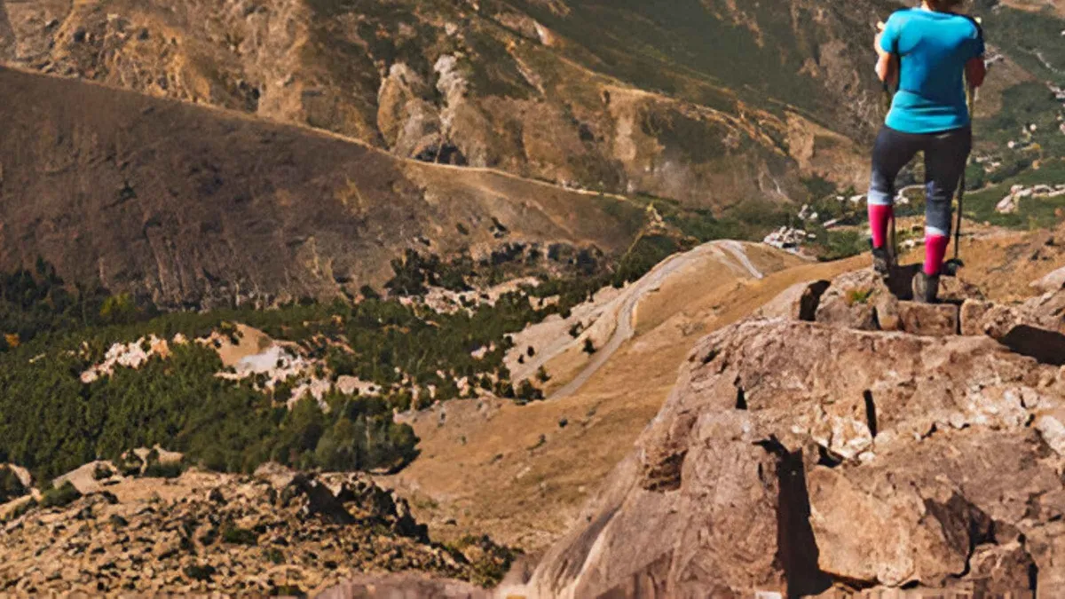 from $27.87
Marrakech: Imlil Atlas Mountains Day Trip with Lunch
listed at $27.87
Full-day trip to Imlil at the foot of Toubkal with lunch and a hike scaled to your fitness. Guides run it in English, Arabic or French.
Check Availability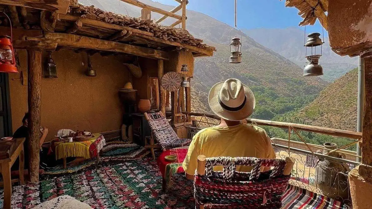 from $33
From Marrakech: Imlil Day Trip & lunch in Local Family house
listed at $33
Full-day Imlil trip with a one to two hour walk and lunch in a local family's house. Vegetarian and vegan meals are cooked on request.
Check Availability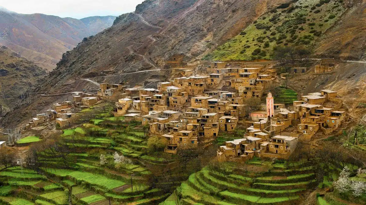 from $22.78
From Marrakech: Atlas Mountains Full-Day Hiking Trip with Lunch
listed at $22.78
Nine-hour Atlas day trip built around a two to three hour hike between Berber villages, with lunch. The operator says the walking can be lengthened or shortened on the day.
Check AvailabilityPrices, ratings and details are the platform's own, checked in Q3 2026; dollar figures are the listed prices — the platform bills in your account's currency.
The road to Imlil, section by section
No single official document states a Marrakech to Imlil distance, so we summed the ones that do exist. The Moroccan roads register counts every classified section and prints its length, its kilometre points and its traffic.
Three counted sections make the journey, and their lengths add to 64.8 km. The traffic figures on them are the reason we can say with confidence that tarmac reaches the village: a provincial road carrying 1,170 vehicles a day over 16 kilometres is a surfaced road with ordinary traffic on it, not a four-wheel-drive track.
| Section | Road | Length | Vehicles a day, 2023 |
|---|---|---|---|
| Marrakech to Tahannaout | RR 203 | 31.00 km | 8,241 |
| Tahannaout to Asni | RR 203 | 17.80 km | 3,562 |
| Asni to Imlil | RP 2015 | 16.00 km | 1,170 |
| Asni onward over the Tizi n'Test | RR 203 | 76.00 km | 501 |
That last row is worth noticing. Beyond Asni the same road climbs to the Tizi n'Test and drops to the national road, and its traffic collapses to 501 vehicles a day. The valley road is busy; the pass beyond it is not.
One oddity in the register, reported as printed: it also lists a route provinciale 2030 running from the Ourika road to a place it calls Imlil, 51.13 km with 1,062 vehicles a day. The register does not say whether that is the same village. We are not going to route you over it on the strength of a name in a table.
The park's own 2018 management plan uses older numbers for the same approach, describing access 'depuis Imlil via Asni par la route regionale R203 puis la route provinciale P2005'. The 2023 register numbers that section RP 2015. Two Moroccan official documents, two numbers, no reconciliation published.
On the ground, follow signs to Asni and then to Imlil.
Section lengths, kilometre points and annual average daily traffic from the CNER Recueil du Trafic Routier 2023; the older road numbering from the Toubkal park management plan, Mission III, 2018. Read in Q3 2026.
There is no Commune d'Imlil, and other things the census actually says
Almost every English page about this village quotes a population and an altitude. Both figures are wrong or unsourced, and the reason is a duplicate place name in the national register.
Morocco's planning commission publishes the legal population of every commune. For the Cercle d'Asni in Al Haouz province, the 2014 and 2024 registers list exactly seven communes: Aghbar, Asni, Ighil, Ijoukak, Imgdal, Ouirgane and Talat N'Yaaqoub. There is no Commune d'Imlil among them.
The village falls administratively inside the Commune d'Asni, geographic code 07.041.07.03.
The 'Commune d'Imlil, 11,175 residents' that circulates in guides and on Wikipedia is a real commune with a real population, in Azilal, in a different region entirely, under code 05.081.15.11. Anyone quoting it for this village has matched on a name. The figures that do apply here are these.
| Unit | 2014 census | 2024 census | Note |
|---|---|---|---|
| Commune d'Asni, which contains Imlil | 21,244 | 22,637 | 4,966 households, one foreign resident |
| Cercle d'Asni | 59,881 | 56,005 | The circle fell over the decade |
| Province d'Al Haouz | 573,128 | 642,815 | 132,875 urban, 509,940 rural |
| Imlil village itself | not published | not published | No Moroccan authority publishes a village-level figure |
The altitude is the same story with a different ending. No official or academic source we could find gives an elevation for the village. The 1,740 metres repeated everywhere is blog and encyclopaedia material without a survey behind it.
Sourced altitudes nearby, for orientation: Jbel Toubkal 4,167 m and Lac d'Ifni 2,600 m from the forestry agency, Sidi Chamharouch 2,370 m and the Marrakech weather station 468 m from the peer-reviewed literature, and the Rheraya catchment running from 1,000 to 4,167 m. The nearest thing to an official statement is a first-person tourist-board article mentioning being 'already 1,700 metres above sea level' shortly before arriving, which is a narrative aside rather than a figure.
Why print all this? Because the same carelessness that produces a wrong population produces a wrong claim about who may walk where, and this valley has more of those than anywhere else in Morocco.
Commune lists and populations from the HCP legal-population registers for the 2024 and 2014 censuses; altitudes from the forestry agency's park page, The Cryosphere (2017) and the flash-flood literature cited below. Read in Q3 2026.
The safety question two governments answer differently
This is the paragraph most guides to the village skip. We are printing it because the asymmetry between two travel advisories is itself the finding, and because the version circulating in its place is unsupported.
Global Affairs Canada names the case in its Morocco advice, under terrorism, in these words: 'There's a threat of terrorism, and attacks have targeted foreigners. In December 2018, 2 Scandinavian tourists were found dead in a mountainous area of southern Morocco, 10 km from Imlil, a village in the High Atlas. Moroccan authorities have described the killing as a terrorist act.' The same page adds, under kidnapping, 'Don't hike alone in remote mountain regions.'
The UK Foreign Office does not mention the killings, this village or any resulting measure anywhere in its Morocco advice, and neither do its archived versions from April 2019, December 2019, October 2023 or December 2023. Two governments, the same event, one naming it and one silent. Neither places any advise-against-travel restriction on this province, the Atlas, Asni or the village.
The rule that fills the gap online, that non-Moroccan hikers have since 2019 been required to walk with an accredited guide, with checkpoints on the way up, appears only on operator and blog pages. No Moroccan government statement on the case or on any resulting security measure could be retrieved, and no decree, ministry page or gendarmerie notice supports it. The legal position is on the Atlas Mountains page: the guiding law binds the guide, not the walker, and the protected-areas law does not mention guides at all.
How to hold both halves of that at once. The absence of a warning from two foreign ministries is not an official statement that everything is fine, and the absence of a decree is not proof that no local instruction exists. What is defensible: hire a guide because the route-finding, the weather and the company are worth it and because Canada advises against walking alone in remote mountains, not because someone told you a law requires it.
Quotation verbatim from Global Affairs Canada's Morocco travel advice, modified 1 September 2026; the UK position from the Foreign Office Morocco advice, updated 19 August 2026, searched across its warnings, safety and regional-risk pages. Both read in Q3 2026.
The 2023 earthquake, and what is and is not known about the recovery here
The earthquake happened in this province, and the honest account of its effect on this valley is short, because the primary sources are unreachable.
The event is well documented by the United States Geological Survey: magnitude 6.8, depth 19 km, maximum intensity IX, epicentre about 71 km in a straight line from Marrakech, inside Al Haouz province, the province that contains Asni and this village. The survey's own impact summary records at least 2,946 people killed, 5,674 injured, 59,674 homes damaged or destroyed and 585 schools damaged across seven provinces, with 20 cm of surface uplift near the epicentre and 7 cm of subsidence to the south.
What is not available is any Moroccan government statement on reconstruction or road access here. The interior ministry, the head of government's office, the national press agency, the housing ministry and the equipment ministry were all blocked or refused connections during our research, so no primary Moroccan communique on the toll, the rebuilding programme or the state of the roads in this valley could be read. Damage specific to the village is not stated by any source we can cite.
The one indirect signal is the traffic register: the road up from Asni was counted at 1,170 vehicles a day in 2023, and no authority has published a closure since. Treat that as evidence the road works, not as a statement about the state of the buildings beside it.
There is a second hazard here that is better documented and almost never mentioned. Peer-reviewed flash-flood susceptibility modelling of the Rheraya watershed, the 224 square kilometres draining past this village to the gauge at Tahannaout, places Imlil in the high susceptibility class alongside Moulay Brahim, Asni and Tinitine, and describes them as highly touristic zones requiring enhanced disaster preparedness. The Ourika valley page sets out what a High Atlas flash flood looks like when it arrives.
Earthquake parameters and impact summary from the USGS event page for the M 6.8 Al Haouz earthquake; flood susceptibility from the peer-reviewed Rheraya watershed study, Journal of Water and Climate Change 15(8). Read in Q3 2026.
How to get to Imlil, and what a day here looks like
Three ways up, one of which does not exist, and a shape for the day once you arrive.
There is no coach. Neither national carrier lists Asni or Imlil as a stop, so the scheduled-bus option that works for the coast does not exist here. What people actually do is take a shared grand taxi from the Bab er Robb side of the medina to Asni and change there for the village, or negotiate one vehicle for the whole run.
No Moroccan authority publishes a fare for either leg, so both are negotiated, and anyone quoting you a firm figure is quoting a guess.
| Way up | What you pay | Time each way | What it removes |
|---|---|---|---|
| Guided day trip | $27.87 to $33 listed | About 1 h 30 by road | Two taxi negotiations, the lunch, the guide and the return timing |
| Grand taxi, changing at Asni | No published fare either leg | 1 h 30 plus the wait at Asni | Nothing. You set your own hours |
| Private vehicle for the day | No published fare, agreed for the car | 1 h 30 | The waiting and the change |
| Scheduled coach | Does not exist | n/a | Neither Supratours nor CTM lists a stop in this valley |
Once you arrive, the village is small and the walking starts immediately. The standard half-day is up to Aroumd and back along the terraces, which is an hour and a half at an easy pace with the ridgeline in view the whole way. Above that the tracks climb towards the shrine at Sidi Chamharouch at 2,370 metres, which is a full day, and beyond that the refuge, which is not a day trip from the city.
Mules are the transport above the village, and they are the load system the valley economy runs on rather than a photo opportunity. Rates are a local arrangement with nothing published; agree the price, the load and the destination before anything is strapped on.
The decision, in one sentence: if you want to walk and get back to Marrakech the same night, book the day trip, because the whole saving of doing it independently is spent on two negotiated taxi fares and the wait at Asni.
Carrier coverage checked against the official Supratours and CTM booking systems in Q3 2026, neither of which lists Asni or Imlil. Free-flow driving time computed with the public OSRM routing service over OpenStreetMap data; no Moroccan authority publishes a grand-taxi tariff for this route.
Five Things Most Visitors Do Not Know About Imlil
Each line carries the source it came from. The gaps are marked as gaps.
- There is no Commune d'Imlil in this province: the village is inside the Commune d'Asni, and the 11,175-person 'Commune d'Imlil' quoted online is in Azilal (HCP legal population registers, 2014 and 2024 censuses).
- The village's altitude is not published by any official or academic source; the 1,740 m everyone prints is blog material (checked against ANEF, HCP and the peer-reviewed literature in Q3 2026).
- The road up from Asni carried 1,170 vehicles a day in 2023, which is how we know tarmac reaches the village rather than a track (CNER Recueil du Trafic Routier 2023).
- Canada's travel advice names the December 2018 killings and the United Kingdom's does not mention them anywhere, in current or archived versions (Global Affairs Canada; UK Foreign Office).
- Peer-reviewed modelling puts this village in the high flash-flood susceptibility class for the Rheraya watershed, alongside Asni and Moulay Brahim (Journal of Water and Climate Change, 15(8)).
Also unpublished: any entry fee or permit, any mule or grand-taxi tariff, any winter road closure, and any Moroccan government statement on reconstruction or road access here after the 2023 earthquake.
Imlil In Six Dates
The village has no monument and no ticket, so its record is administrative and hydrological rather than architectural. These are the dates that shaped what a visitor meets.
-
1942
The park is created above the village
Toubkal National Park, Morocco's first, is established in the massif whose trailhead this valley is. The park page has the two official areas that disagree.
-
1999
The refuge is built at 3,207 m
The Refuge du Toubkal, run by the Club Alpin Francais de Casablanca, gives the summit route its overnight stage and turns a two-day effort into an organised one.
-
2012
The park ecomuseum opens between Asni and Imlil
Four kilometres from Asni and thirteen from the village. It took 2,469 visitors in 2014, against about 40,000 a year to the park itself.
-
December 2018
Two Scandinavian tourists are killed 10 km away
Named by Global Affairs Canada, which records that Moroccan authorities described the killing as a terrorist act. The UK Foreign Office does not mention it in any version we could read.
-
8 September 2023
A magnitude 6.8 earthquake strikes the province
Epicentre about 71 km from Marrakech in Al Haouz, maximum intensity IX. No Moroccan statement on reconstruction or road access for this valley could be retrieved.
-
2023
The road is counted at 1,170 vehicles a day
The national traffic register records the Asni to Imlil section over its full 16.00 km, which is the clearest published evidence that the valley is reachable and busy.
Sources in order: the Toubkal park management plan, Mission III, 2018; the Club Alpin Francais de Casablanca; Global Affairs Canada; the USGS event page; and the CNER traffic register 2023. Read in Q3 2026.
In Imlil: What To Do, And What Not To
Each line is a decision argued above, in the form you use on the morning.
Do
- Agree the taxi fare before you get in, both legs, because no authority publishes one for this route
- Agree the mule price, the load and the destination before anything is strapped on
- Take the walk scaled to your fitness if you want a day trip, and a night in the village if you want a dawn start
- Ask a guide for the professional card and badge that Moroccan law requires of him
- Dress for a valley several hundred metres above the city, in a place where the park above records snow from September to May
Don't
- Don't quote the 11,175 population or the 1,740 metre altitude, because neither figure belongs to this village
- Don't expect a coach: neither national carrier stops anywhere in this valley
- Don't treat the summit as reachable from Marrakech in a day; it needs the refuge at 3,207 m and two days
- Don't accept the checkpoint story as law, since no decree, ministry page or foreign-office text supports it
- Don't camp beside the stream after heavy rain, because peer-reviewed modelling puts this valley in the high flash-flood class
Imlil map: the valley, the road and what lies above
The village, the road it sits at the end of, and the three places on the same axis. Coordinates are Wikidata reference points.
Coordinates are the Wikidata P625 values for Imlil, Jbel Toubkal, Toubkal National Park, Sti Fadma and Jemaa el-Fna, verified in Q3 2026.
Next, from the trailhead
Three places the same day could have gone instead, and the line that separates them.
Atlas Mountains
Toubkal National Park, its two disputed official areas, the six vehicle gates and the refuge tariff. The Atlas page also carries the compulsory-guide question in full.
Straight up from the villageOurika Valley
A river day with seven waterfalls rather than a trailhead. The Ourika page corrects the road number and prints the flood record that shapes where you eat.
The next valley eastDay trips from Marrakech
Drive time, whether a coach goes there and the do-it-yourself fare where one exists. The day trips hub is where to choose between mountains, coast and desert.
All eight comparedImlil questions
How far is Imlil from Marrakech?
64.8 km by classified road, which we summed from the official section lengths in the national traffic register: 31.00 km to Tahannaout and 17.80 km on to Asni on the regional road, then 16.00 km of provincial road. No single official document states the total. In a car it is about an hour and a half each way, which is why the day trips run a full day.
How high is Imlil?
Not stated. No Moroccan authority and no academic source we could find publishes an altitude for the village, and the 1,740 metres repeated online has no survey behind it. For scale, the Marrakech weather station is at 468 m, the shrine at Sidi Chamharouch is at 2,370 m and Jbel Toubkal is 4,167 m.
Can you get to Imlil by bus?
No. Neither Supratours nor CTM lists Asni or the village as a stop in its own booking system, so there is no scheduled coach. The independent route is a shared grand taxi from the Bab er Robb side of the medina, changing at Asni, with no published fare for either leg. A trip with transport included removes both negotiations.
Is Imlil safe to visit?
Neither the UK Foreign Office nor Global Affairs Canada places any advise-against-travel restriction on this village, this valley or this province. Canada's advice does name the December 2018 killing of two Scandinavian tourists 10 km away, which Moroccan authorities described as a terrorist act, and advises against hiking alone in remote mountain regions; the UK advice does not mention the case at all. That asymmetry is worth knowing before you read a blog that presents one version as the whole record.
Do you need a guide to walk from Imlil?
No Moroccan text we could read requires one of a walker. The guiding law licenses the guide rather than the walker, and the protected-areas law governing the park above does not contain the word 'guide' at all. The full legal position, including the unsupported checkpoint claim, is set out on the Atlas Mountains page. Hire one for route-finding and weather, and ask to see the professional card.
What is there to do in Imlil for a day?
Walk. The standard half day is up to Aroumd and back along the terraces, about an hour and a half at an easy pace; a full day reaches the shrine at Sidi Chamharouch at 2,370 m. There is no monument, no ticket and no museum in the village, which is the point of it. A day with lunch in a family house adds the meal that most independent visitors end up buying anyway.
Was Imlil affected by the 2023 earthquake?
The epicentre was in this province, about 71 km from Marrakech, and the earthquake measured 6.8 with a maximum intensity of IX. What is not available is any Moroccan government statement on damage, reconstruction or road access for this valley specifically, because the relevant ministries were unreachable throughout our research. The road up from Asni was counted at 1,170 vehicles a day and no closure has been published.
Where Imlil fits in a Marrakech trip
The routing, and what it is not.
This is the day you take when you want to walk somewhere with a horizon, not the day you take to see something. It works as a full day from the city, and it works better as a night: a bed in the village puts you on the track at seven, before the vehicles come up from Asni, and gives you the shrine walk instead of the terrace loop.
If you want water rather than ridgelines, the Ourika valley is the other direction and cheaper to reach. If you want the summit, the Atlas Mountains page has the refuge tariff and the two-day arithmetic. If you are still deciding between the mountains, the coast and the stone hills, every destination is compared on drive time and fare, and the city list is on the Marrakech guide homepage.
Imlil On Film: The Village, The Terraces And The Guide Question
Three films that show what the village actually looks like away from the trekking brochures, including one that takes on the guide question head-on.
THE MOROCCO THEY DON'T SHOW YOU! IMLIL (ATLAS MOUNTAINS)
The village and the valley at walking pace, well away from the summit-day footage.
Video: Jumping PlacesImlil Valley, The Heart of Morocco's High Atlas Mountains
A valley overview that shows the terraces, the mule tracks and how quickly the road runs out.
Video: It's One World TravelImlil, Morocco: is hiring a guide just a scam?
One walker's account of the guide question we set out above, filmed on the ground rather than argued from a law book.
Video: Noggins RoamsVideos load from YouTube only when you press play.
Reviewed Q3 2026 (July–September 2026); next review Q4 2026. Prices, hours and terms are set by the venue or operator and confirmed at checkout.
We may earn a commission if you book through one of our links, at no extra cost to you. Full affiliate disclosure